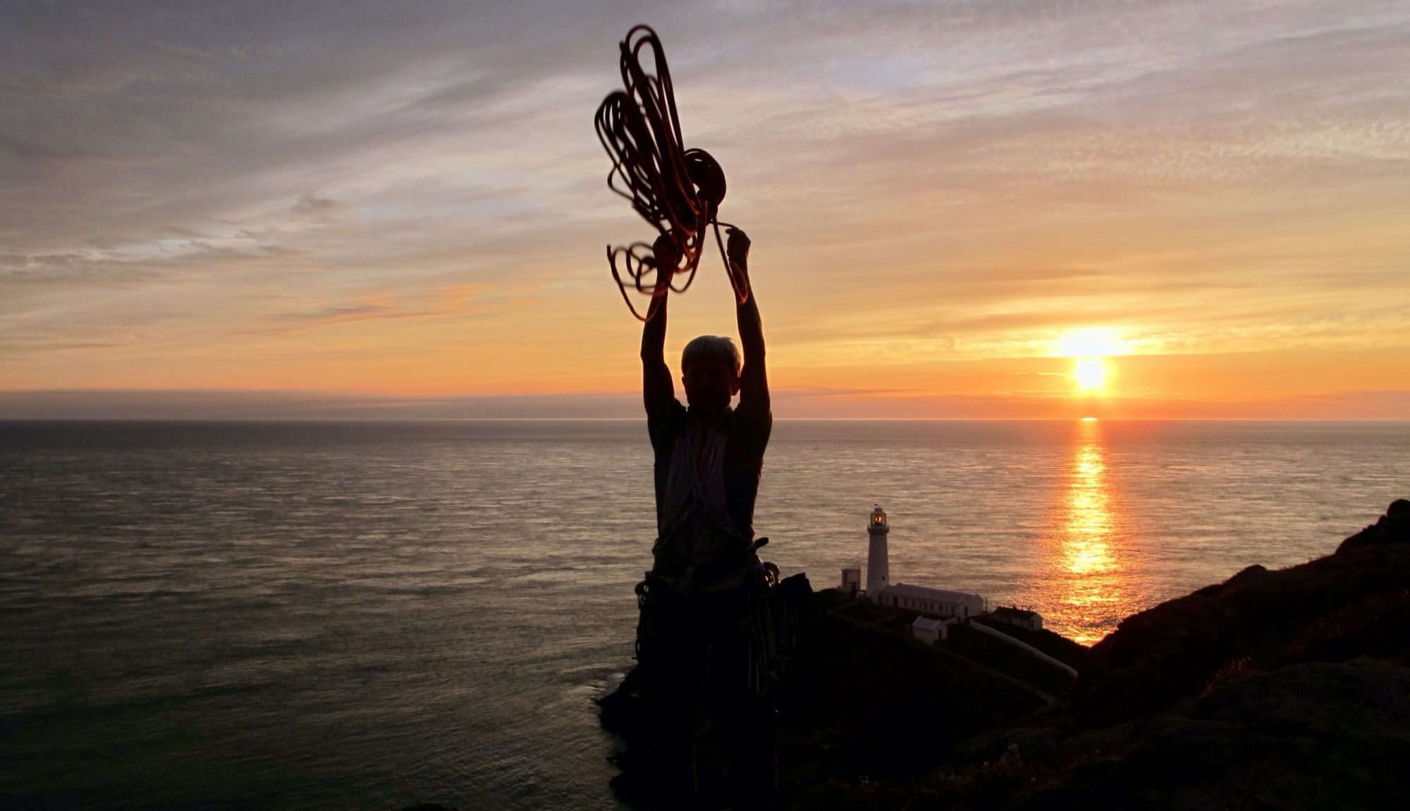
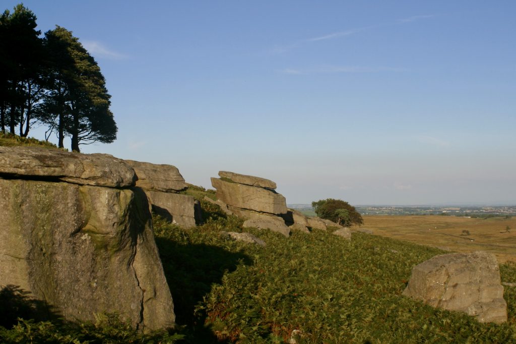
These friendly south facing gritstone boulders at Sunnybrow deserve to be more popular. They are situated across the moor from Goldsborough and about 30 minutes flat walk from the nearest road.
These descriptions confer no right of access but no difficulties have been experienced during the current development. Both the approaches and the boulders lie within the Danger Area of the Battle Hill Firing Range. Do not enter when red flags are flying.

History
The present level of development results from visit by Alan Dougherty, Kevin Flint and Paul Johnson during summer 2002. Dougherty and Flint had previously visited circa 2000, when several problems were recorded and no evidence of previous climbing was noted. Scope remains for further problems and several existing ones have only been top – roped so far. Steve Crowe visited in September 2002 and added a few problems and freed one previously top roped line.
Character
A south facing collection of Gritstone boulders and buttresses, up to 5m high, spread along some 600m of moor side. The Grit is generally of good quality but care needs to be taken with lichen (brushing has been kept to a minimum) and with the odd friable hold along iron rich bands. Many of the landings are good but there are some real ankle crunchers so beware – a bouldering mat is advised. Bracken between the boulders can be irksome but the bases of most problems are clear. Midges can be a nuisance when the wind drops. Generally the bouldering is of good quality and the ambience and outlook excellent, especially as an evening venue. Many of the problems finish with rounded mantelshelves that can feel precarious if the top is lichenous.

Approach
Taking the minor road from Cotherstone to Bowes room should be found to park a couple of cars tidily on the north side of North Gill Bridge (GR 996175). Immediately to the south of the bridge a Public Footpath sign points westwards along a well-defined track. This can be followed, passing a gate / style at a sheepfold, for a couple of kilometres to the ruined farmstead at East Loups’. Just beyond East Loups’, the tumbled down wall on the left (south) can be passed, descending slightly from the ridge track way, and the Easterly Group should be visible just ahead. This approach is 2.3km and takes about half an hour. It should be noted that the boulders are not visible until one is quite close. It is also possible to approach from Goldsborough (from where the boulders are hidden from view) by aiming for the gate (GR 964175) where the previously mentioned track (now marked on maps as a Public Bridleway) meets the open moor, near a solitary pine tree.
