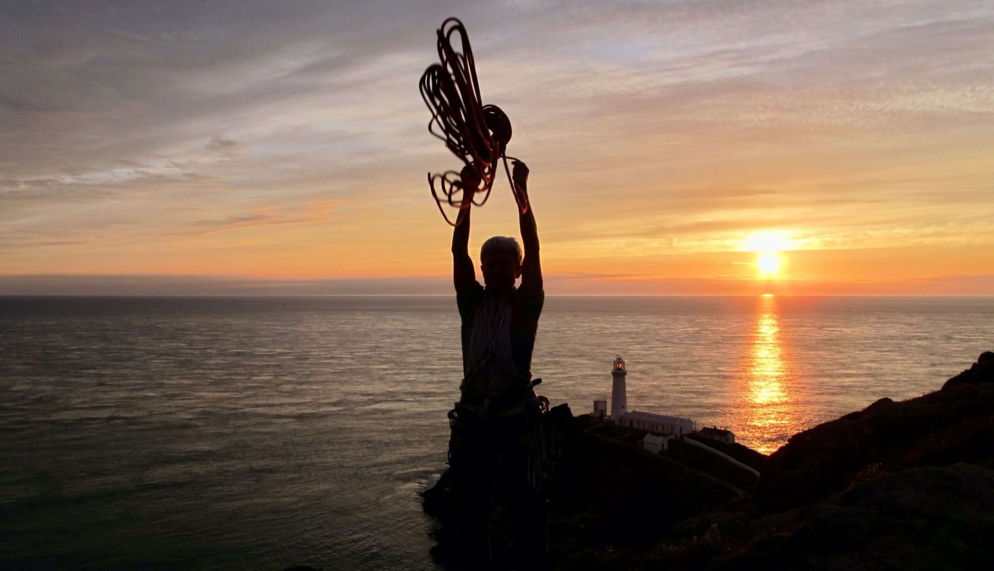
Frozen Feet!
After a fitful night’s sleep, I woke trying desperately to keep out the cold. Moving to get up I noticed a white frost on my sleeping bag. Then, that the condensation on the inner tent was frozen. Fearing the worst, I opened the flysheet, which was nearly white inside and out, and removed the top from my water container. The bottom stayed on the ground thus spilling a few drops of water on to my sweaty socks. When I picked them up, they too were frozen. Worse still, my boots were frozen stiff. This could have meant the end of the trip but fortunately only three tarmac miles remained to Fort William (fondly known as Fort Bill) and the salt waters of Loch Linnhe on the West Coast.

Let’s Start at the Beginning
The idea of a coast-to-coast walk came about long before the “Ultimate Challenge” was conceived. A walk across Scotland seemed like ‘a good idea’. I struggled to decide between walking from East-West or West-East. I finally decided to get the day walking on tarmac over at the beginning and leave the opportunity of catching a train home at one the many stations on the West Coast. Originally, I intended to try to carry less than a week’s food at a time, but this did not work out. Some food was left in a tin under a bridge near Dalwhinnie and more fresh food was bought at Braemar and Dalwhinnie; the rest was carried from the start which made the first couple of days a chore. The train journey from home to Montrose seemed to help me acclimatize to the change over the next fortnight, of which I wrote in my diary “I am going to enjoy every day… after tomorrow”. People on trains are intriguing; groups of rowdy people, couples getting close, solitary shifty-eyed people and then there are the kids – the entertainers.

Unrewarded (Saturday 11th April 1981)
After a reasonable Bed and Breakfast for £5 at “Bonavista” in Montrose, I left and headed down to the beach in a slight drizzle. That’s the way it stayed until about three thirty in the afternoon. I took two self-portraits on Montrose beach and then set off for Fort Bill. My planning included a scenic route for Glen Esk, but I wasn’t rewarded with the expected views of the basin. The walking was tougher than I had envisaged, I only managed seventeen miles and was glad to stop when I did. I also began to doubt whether I could make it to Glen Doll Youth Hostel by the following evening as planned. However, I had to telephone home Monday morning as arranged, mainly for Mam’s peace of mind. I tried to eat as much as possible that first evening to ease my burden for the following day.

A Welcome Bed (Sunday 12th April 1981)
What a day! I tried to get to Glen Effock for lunch but stopped short at Dalbrack Bridge. The push up to Cairn Caidlock had me doubting whether I would make the Youth Hostel. I stopped once, twice, and again for a photograph of Glen Esk; then shattered, sat down at the top. I followed the track towards Burnt Hill and when I left it at the bealach, my troubles began. I stopped many times, tired of the terrain, the weight of my sack and the distances left to go. It wasn’t until I neared White Hill that my hopes began to rise, my throbbing thighs eased, and I could see Green Hill. A couple more stops down by Loch Brandy, where I was excited to see many white hares, and I was in the Ogilvy Arms for a pint and a toastie. By now, I was willing to accept a lift, but the last four tarmac miles were walked in one hour ten minutes. I tried to buy a bottle of milk from a party in Acharn but instead they just gave me one free. Then I booked into the familiar Glen Doll Youth Hostel for food and a welcome bed, tired, but pleased after twenty-five miles to be on schedule.

Murderous Miles (Monday 13th April 1981)
I could afford a late start from Glen Doll after yesterday’s efforts, so left the Youth Hostel at 9.45 a.m. Taking Jocks Road, I made for Tolmount. After putting my damp tent out to dry, I ate lunch, then climbed Tolmount, sackless. It was a scorching hot day with just a slight welcome breeze in exposed places. The views were terrific, back over Glen Clova and Glen Esk, and my way ahead over Ben Avon and the Cairngorms. I continued on my way at 1pm and arrived at Loch Callater Lodge at 4pm. It then took a murderous one and a quarter hour to cover the same map miles to the road. Again, I was willing to accept a lift but no-one stopped. Braemar Youth Hostel was quite full with a noisy school party so they gave me a family dormitory all to myself. I saw my second ever lizard during the day and I was to see many more before Fort Bill.

Sunstroke (Tuesday 14th April 1981)
Before leaving Braemar I stocked up my supplies, posted two used maps and four post cards. Approximately one mile west of the village I managed to cross an icy cold river Dee, reasonably easily since there had been no rain for two days. In fact, I had more trouble crossing the drainage ditches. A good track took me to the bealach between Carn Elrig Nor and Carn na Criche where I stopped for lunch in the shade of a boulder. Then I stumbled along various sheep and deer tracks down towards Quoich Water and took a photograph as an excuse for another stop in the shade. I came across a tent, then a nearby path so I made better time for about five minutes until I lost the path by turning left too soon. Realising my mistake, I cut up hill to find a good stalkers track and took even more photographs from this point just as excuses for a rest, before crossing Quoich Water to stumble wearily up the slopes to a frozen Dubh Lochan. The ten and a half miles from Braemar took a lot of time and effort. On reflection, I feel I must have suffered slight sunstroke because when I put up my tent all I wanted to do was to get in the shade. I forced myself out later to take some photos of this fantastic “high altitude” camp site.

Magnificent Views (Wednesday 15th April 1981)
Since my watch stopped last night I guessed the time was eight o’clock, actually I discovered later, it was only 6.30am! I looked outside the tent and saw a cool clear cloudless sky. I was in no rush, so after an ambling breakfast of fresh food, I struck camp. It was up hill straight away so I aimed for the shade and took a short rest before returning to the sun-kissed ridge. I left my sack on the summit ridge and wandered along to Beinn a’ Bhuird’s south summit. It was about this time that I began to notice the magnificent views as far as the eye could see; Glas Moel, Tolmount, Coire Etchachan, Beinn MacDuibh, Cairngorm and many more that I couldn’t name. With raised spirit, I walked to the North Top and took some panoramic photographs. I set off for Beinn a’ Chaorainn Bheag and when the sun was due south I set my watch to twelve o’clock. A short chat with some lunching walkers set me in high spirits again to spurt up Beinn a’Chaorainn. I ate an apple to reduce weight for the descent into Larig an Laoigh. Then, following the path south for a while before crossing to the Coire Etchachan path, I noticed a party of twenty walkers! I hoped they wouldn’t stop for the night and disturb the solitude. They sat around for ages before deciding to carry on to Ben Macdui, relieved, I settled down for the evening.

Snow Bunting (Thursday 16th April 1981)
By eight thirty I was on my way up to Ben Macdui where I spotted some Snow Bunting. I tried to photograph them, but they flew off. I made good time only stopping for some quick photographs and reached the summit by 10:15 am where I was greeted with fantastic panoramic views. Another fantastic photo session followed. Eventually I left the summit ridge by March Burn. After half an hour’s steep scramble, slide, fall, down to the Pools of Dee, I managed to pick out a line of weakness so avoiding snow up to Sron na Lairige. I got almost to the top so stopped and ate lunch, all within an hour. I finally made Braeriach at two fifteen and stopped for more photographs and a chat with a party that had just taken five hours to get here from Glen Feshie. It took me four and a quarter hours to get down. My biggest worry going over the plateau was the sun on my legs. It was far too hot for my warm trousers so I wrapped my Kagole over my shorts to try and protect my legs from burning.

Just a Thought (Friday 17th April 1981)
I was woken in Glen Feshie Bothy by my motorcycling friends at six in the morning. A little worried about all my gear I rose at half past six but they left just then without any bother and even set the fire after them. I took time to wash, change the film in the camera then swept up. A paddle across River Feshie took me directly to the stalkers path up by Lochan an t-Sluic. Once through a forest, the path became indistinct. Frustratingly, this was right on the join of two maps. Whilst carefully examining the maps I’m sure I spotted a Golden Eagle. The day was so calm that he struggled to find an updraught to soar on. I wandered along various tracks going in my direction until I stumbled upon a road which wasn’t marked on my first series OS map. It led to a weir which fed all the water through a tunnel to Loch an t-Seilich, which is a hydro dam. During lunch I thought how good it would be to work here, especially if paid, and even in the rain. A Swiss registered Citroen passed me with Gaick Lodge Ranger written on it. The path unfortunately took me through the grounds of the lodge, where the Swiss were sitting in the sun. A few polite words and I was allowed through the grounds to the foot of Sgor Dearg where I dozed for twenty-five minutes in the heat of the day. An indistinct path took me around the lip of Coire Chaich and a Land Rover track led down to Loch Cuaich.

Low Cloud over Dalwhinnie (Saturday 18th April 1981)
Early next morning there was quite some cloud on the hillsides above me and over Dalwhinnie below. It was a pleasant cool change from the last seven days of unrelenting sunshine. After a later start than intended, I set off by Allt Cuaich. Suddenly a dam diverted the water to feed Loch Ericht via an aqueduct. I uncovered the box of food which I had hidden a month earlier. I was pleasantly surprised to find more food in the box than I remembered leaving. Hurriedly I packed hoping to catch the solitary Dalwhinnie shop before it closed for Easter. With three quarters of an hour to spare, I bought more fresh food. After posting more maps home, I made some phone calls, my last contact with home before Fort Bill. I then made my way along the shore of Loch Ericht where I stopped for lunch. Reading the Daily Express as I walked to Ben Alder Lodge along a good Land Rover track. Just behind the lodge there was a herd of almost tame deer. I tried to get a good stag pose but could only see their tails. However, a pair of white horses insisted that I took their photographs. The last two miles were hard work and when I looked in the bothy, I saw thirteen people. Apparently, they were London Bankers on an Outdoor Course. Why can’t these groups carry tents? I pitched my tent at a short distance away from the Bothy. I enjoyed walking today.

A Day Off (Sunday 19th April 1981)
The cloud base was around 900m, covering all the tops surrounding Cuhra Lodge, so I lazed through breakfast wondering what to do for the best. Eventually I decided to leave the tent up and stay here another night. So with just a camera over my shoulder I set out for a lightweight ascent of Ben Alder. At Bealach Beithe I sat and ate salted peanuts, watching clouds for encouragement. I ambled across to the buttress when clouds rolled up the ridge, so I hurried upwards. The clouds lay on the summit as a freezing mist. Wandering over to the summit I stopped for another self-portrait then after a quick bite to eat, I moved on. Just as I left the summit the clouds lifted revealing excellent views and I ran over to photograph The Ben before it closed in again. I need not have worried as it stayed clear for the rest of the day. It was “photos galore” all the way down to Bealach Brebag and lunch. A heavily laden walker passed by so after following him to the first top, we stopped for a chat. Then it was on to Beinn Bheoil for another photographic session. On the track back I met someone called Bob, he was the only one left in the bothy so I took down my tent and joined him. Although we were strangers to each other, we were soon exchanging tales like two old pals.

Another Excellent Day (Monday 20th April 1981)
I was concerned that I only had enough fuel for approximately two days so Bob made a brew for both of us. I left the bothy at 8.30am on another beautiful day. Inspired by the weather I decided to follow the ridge from Carn Dearg via Geal-Chairn and Aonach Beag to Beinn Eibhinn, which provided incredible views further west of Blackmount, Glencoe and Lochaber. Then from Beinn Eibhinn down to the footbridge seemed to take ages i.e. from twelve fifteen to two o’clock to be exact. I saw my fourth lizard basking in the sun when on my way down to lunch under the bridge. As I was enjoying the shade of the bridge I washed in the cool waters. Refreshed, I set off towards Ossian Youth Hostel. It was really hot work along the beautiful rhododendron lined track by Loch Ossian. There were people in the distance beside the Youth Hostel so I walked up to them hoping to cadge an overnight stay but I was just told that it did not open until 15th May. Disappointed, I sat down and ate a couple of biscuits. When no offer of accommodation or even a cuppa was apparent, I set off for Larig Leacach. The walking was pretty mechanical along good paths and tracks. I expected to camp by Creag Uaineach Lodge but I couldn’t get near enough to flowing water so I carried on up Larog Leacach to find a good site. At 6:20pm I wrote in my log:- “I could have possibly made it to the bothy but my feet are quite sore after a long day. I hope to make an early start in the morning and all being well it’s The Ben tomorrow”.

Gray Coires Ridge (Tuesday 21st April 1981)
What a day of ups and downs in more ways than one. First up at 6:15am, first down was around 6:30am when my watch still said 6:15am! I had struck camp by 8:15am but didn’t make the bothy until 9:40am. I ate a packed lunch whilst sitting not wanting to go on. I felt that it was too late. However, fearing a change in the weather I set off at 10am. It was hard work up to Stob Coire na Ceannian but I made good time stopping only once. A good ridge took me up to Stob Choire Claurigh where I tried to photograph a snow bunting. I left there at 11:20am on a good ridge to Stob Coire Easain, then I sat down at the next bealach. It was getting very hot and the next climb looked steep. It was 2pm and another packed lunch eaten before I moved on up Sgurr Choinnich Mor. A grass slope led down and up again to Sgurr Choinnich Beag. From here the climb to Aonach Beag appeared too much so I gave up and sat in the sun.
I wandered down to the Bealach to look for a camp site and found one under Sgurr a’ Bhuic. I thought that I should have kept going but I felt so drained and did not have the will to keep going. Noticing some Nimbus Cumulus, I thought to myself “is that rain tomorrow?”.

The Ben (Wednesday 22nd April 1981)
In my log I wrote “Well, I’m certainly glad I stopped yesterday. The time it took me today would have meant arriving at Loohan Meall an t-Suidhe at approximately 10.30pm.”
The wind got up to give me a noisy night in my lightweight tent. I woke to find that the condensation on my flysheet was frozen. Cups of lemsip and tea, some muesli and three scrambled eggs set me on my way. I left at 8am with my duvet on and under the threat of snow or rain. Still unsure of the way, I returned to the path following the fence posts. They went slightly left then up to an arete, but I soon left it to traverse to the ridge running down to Sgurr a’Bhuic. From here it was more straight forward. I took off my duvet but before I reached the summit of Aonach Beag I had it back on again and thus it stayed until I descended off The Ben. The way to Carn Mor Dearg was marked with a cairn on the slope of Aonach Mor. I think I must have gone wrong somewhere because going down was a bit ‘hairy’ at times, dropping all the way down to the col at 830m. The path climbing 400m straight back up to Carn Mor Dearg was a little indistinct at first but it soon became an impressive knife edged ridge. On this summit I saw yet another snow bunting. An enjoyable ridge dropped down to a cairn marking a possible descent into Coire Leis. Then it became more and more broken boulders up to the Ben. It was a slow haul up but stepping over the lip, there was the summit mess in all its glory. The views from the summit weren’t too bad, the Glencoe hills and Knoydart but not much more. It was 1:50pm so I ate my lunch before climbing Carn Dearg, (mainly to avoid the tourist track). Then it was downhill all the way to Lochan Meall an t‘Suidhe and beyond to Glen Nevis where I camped. By now I had very little paraffin left so I bought tins of stew, rice pudding and fruit. It cost me a pound for the privilege of camping but I thoroughly enjoyed a twenty pence shower, my first since Braemar. I lay down exhausted at 9pm fortunately in my sleeping bag and snap – I was out like a light.

And on to Bill (Thursay 23rd April 1981)
The three tarmac miles to Fort Bill and the salt waters of Loch Linnhe were a non-event, but I completed 173 miles of walking and 9376 metres of climbing, over 13 days and although it snowed a little just once it never rained after the first day.
